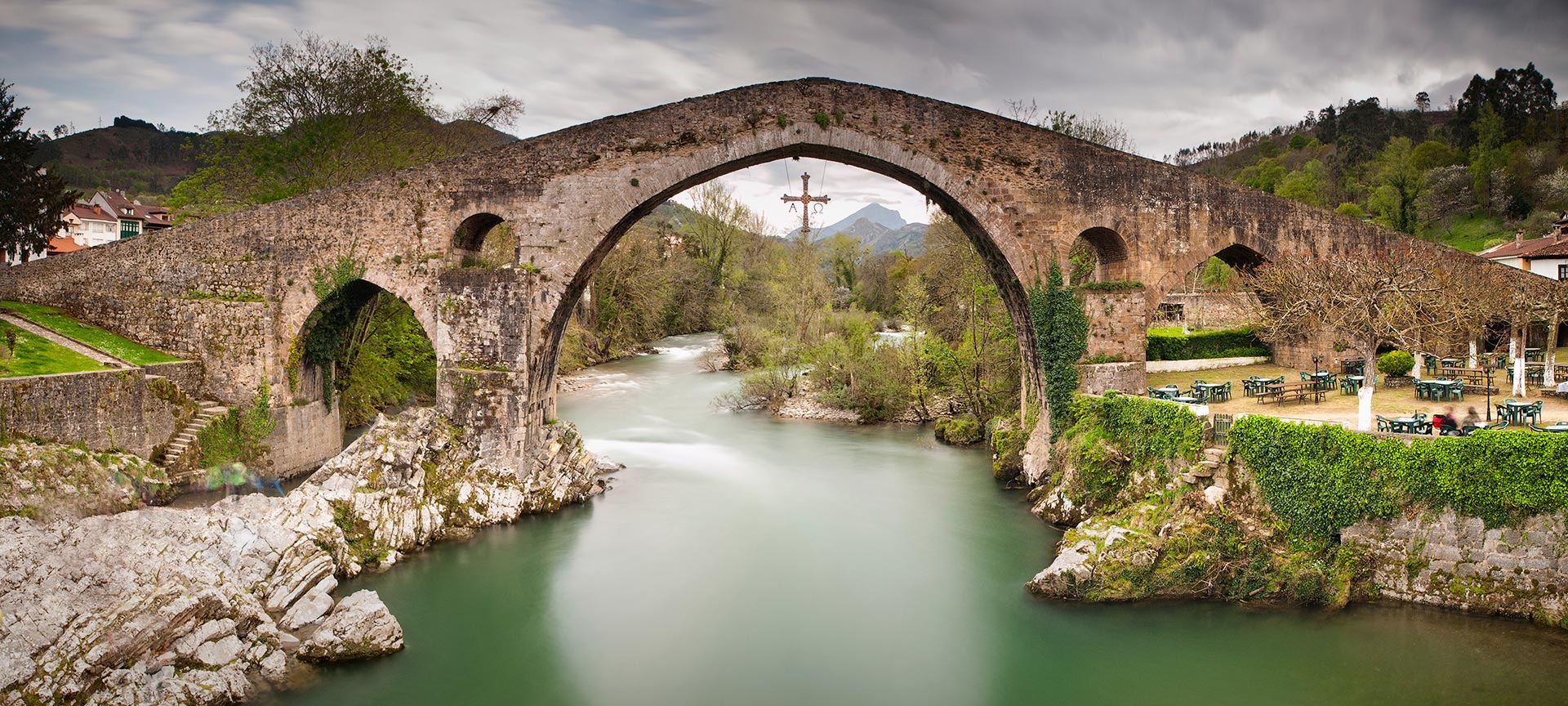
History of the trail
The Cares Trail always features in lists of Spain’s most beautiful hiking trails. Although it isn’t very demanding (except for a few inclines), you should consider its length and plan your route well.Did you know that this deep ravine was not just created by erosion by the river Cares? It is also the result of engineering work carried out in the early 20th century to channel water to the hydroelectric dam at Poncebos. This made it much easier to take this delightful walk without getting lost. Just follow the canal.If you are an experienced hiker, you will be interested to know that the official route (PR-PNPE 3) actually starts (or ends) in Posada de Valdeón (León) and not in Caín, making the route considerably longer (21 kilometres one way). However this first stretch is now little used and most people choose to begin at Caín.

What you will find
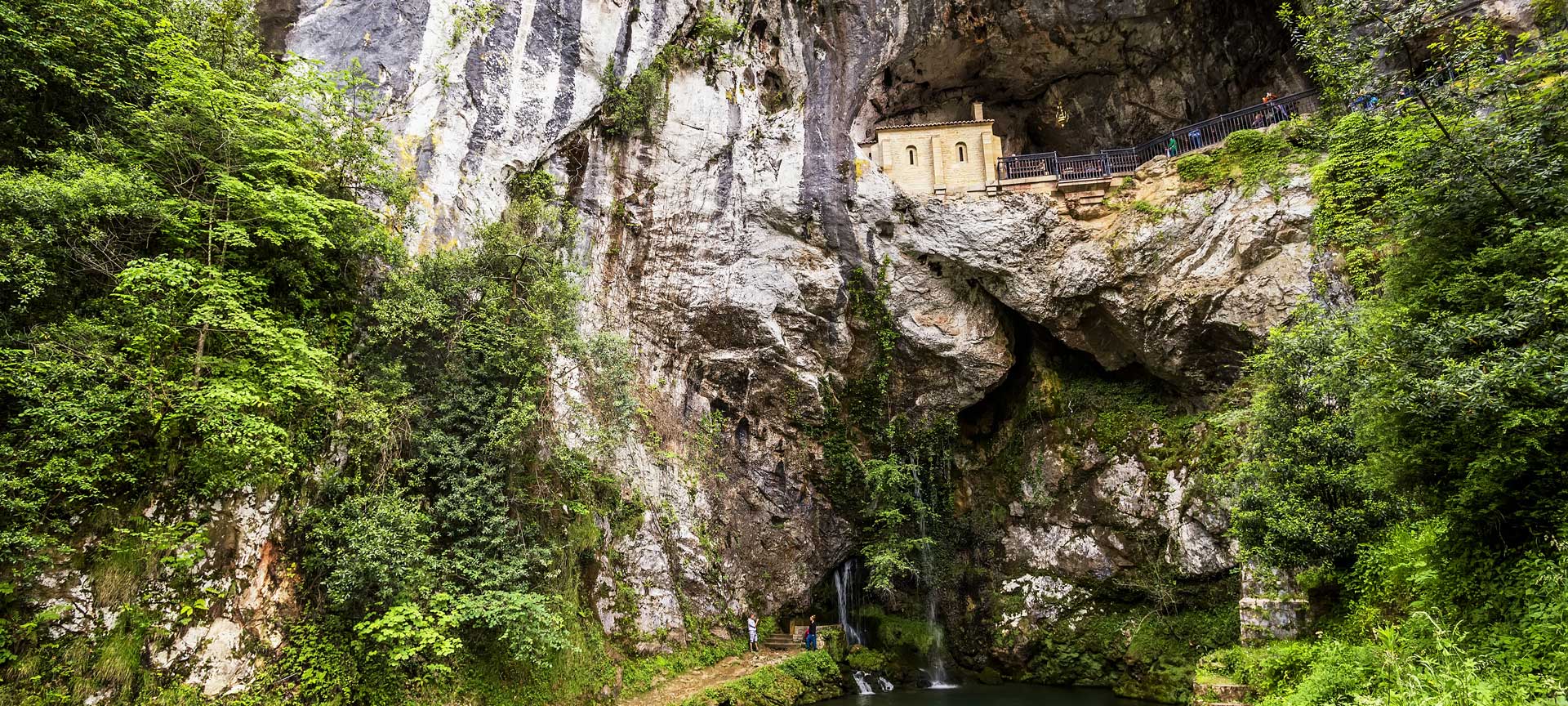
First of all, it’s useful to know you can take the same trail in the opposite direction, starting in Asturias. Starting at Caín is easier, because if you start at Poncebos you almost immediately encounter a fairly tough upward slope for two kilometres. If you begin in León province, this stretch is downhill.For those taking the whole trail, here’s what you will find. Setting out from Posada de Valdeón, you come to Cordiñanes, where the valley starts to narrow. After this village you’ll find the viewing point at Tombo, with its iconic sculpture of a chamois, a symbol of the Picos de Europa mountains. You’ll see immense beech forests, and a little further on, Ermita de Corona, the chapel where King Don Pelayo is supposed to have been crowned. Also in this area is the Chorco de los Lobos, an ingenious trap used in the past to capture these animals.
Then you come to Caín, a village surrounded by mountains over 2,600 metres high. The road ends here, and the Cares hiking trail begins at the entrance to the natural gorge, where most hikers start or end their walk.You’ll follow the fascinating path through narrow tunnels and caves, with beautiful spots worth photographing along the way, such as the bridge of Los Rebecos (with dizzying views over the river), Bolín bridge, and the walkway at Pasarela de los Martínez (on the frontier between Castilla y León and Asturias). At Los Collaos, the highest point on the trail, you start to descend towards Poncebos. Once there, if you are lucky you will be able to see the Urriellu peak (or Naranjo de Bulnes), which with its vertical walls over 500 metres high is a symbol of climbing in Spain.It’s best to enjoy the walk at a leisurely pace. Stop for snacks, see how trees grow in impossible places, listen to the wildlife… This trail never disappoints.