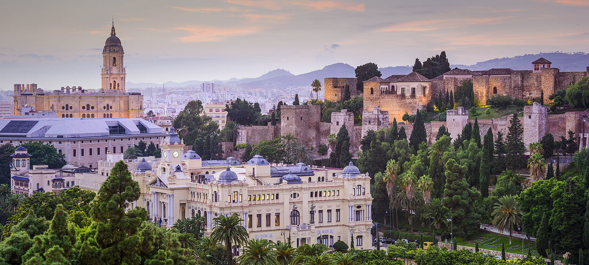
Why is it called Caminito del Rey?
This unique aerial path, suspended 100 metres up against the walls of the gorge, originates in the early 20th century. It was built between the waterfalls of Gaitanejo and El Chorro to bring materials and maintenance workers to the local hydroelectric dam. In 1921, King Alfonso XIII officially opened this feat of engineering, taking the walkway to the Conde de Guadalhorce dam, and since then it has been known as “the King’s little walk” - Caminito del Rey.

What is the walk like?
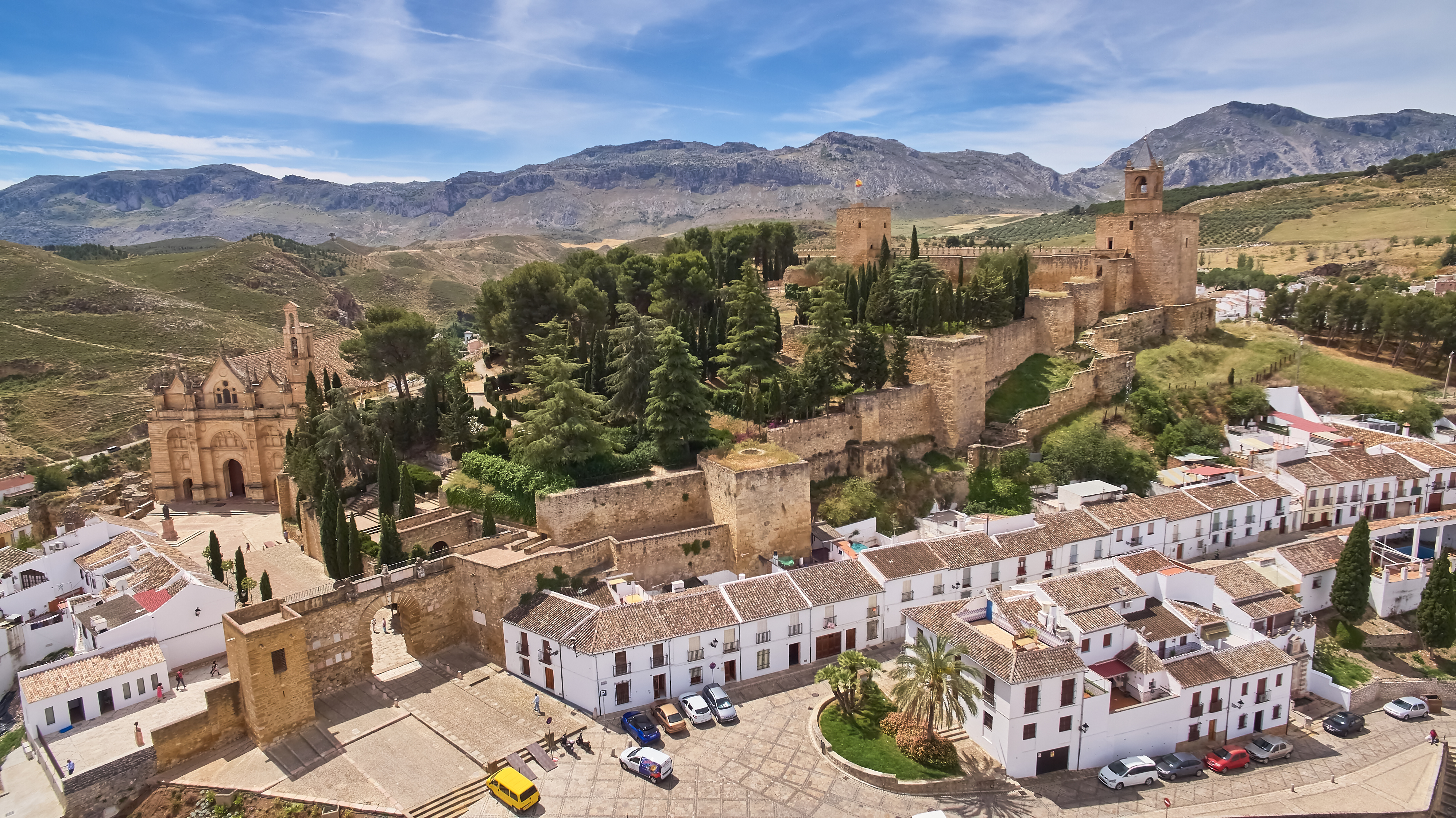
The trail is linear and taken one way only, going downwards and from north to south, some of it on mountain paths and some on suspended walkways. It’s 7.7 kilometres long and takes about 3-4 hours to walk, from the start in the town of Ardales to the exit in Álora. The reception area at the start has a restaurant and several parking areas, and is also the final stop of the shuttle bus which runs between the north and south ends of the trail.
This is the starting point of two paths which lead to the control cabin and the Gaitanejo dam, where the official trail of El Caminito del Rey begins. The longer is 2.7 kilometres, starting from Sillón del Rey, a set of stone benches, table and chair once used by Alfonso XIII, or through the tunnel next to the restaurant. The other path is shorter, just 1.5 kilometres starting with a smaller pedestrian tunnel 200 metres before the restaurant.At the control cabin, personnel give visitors a protective helmet and check that their shoes are suitable. The viewing point on Gaitanejo dam has views of the cave dwellings of Sierra Parda, which were once home to the staff working at the hydroelectric plant. After reaching the walkways, the trail continues through the Gaitanejo gorge, the canyon known as Tajo de las Palomas, and the hanging bridge, Puente del Rey. The landscape gradually changes as you approach the Hoyo valley with its leafy woodland.

Next, the path enters the spectacular gorge of Los Gaitanes via walkways suspended 100 metres above the ground. The amazing sights on this stretch include a hundred-year-old juniper tree growing among the rocks, the “fossil beach” with Jurassic-period fossils, and a glass balcony which sticks out from the walkway, for those who feel they need to push their limits. The path continues onto the final stretch: after handing back your helmets in the control cabin, there is a 2.1-kilometre walk down the hill to the railway station at El Chorro.
Plan your return
As this is a linear, one-way trail, you will need to consider the time taken at the end of the walk to return to your starting point (about an hour) when planning times and distances.

If arriving by car, we recommend parking it in any of the designated parking areas and returning to it by the shuttle bus which run both ways between the northern entrance to the path, by the Guadalhorce dam (Ardales), and the southern end by El Chorro railway station (Álora). Another option is to walk back, although in this case you will want to consider the light and weather conditions, as you will have several kilometres to travel on a narrow road.If arriving by train, at El Chorro-Caminito del Rey railway station you can take the shuttle bus to the northern end to start the hiking trail, so you will need to account for this extra travel time. However, when you finish the Caminito, all you have to do is get on the train.