Hiking for everyone: four accessible, barrier-free hiking routes across Spain
Spain has a growing number of accessible trails that allow people to explore the natural and rural surroundings without any barriers. These routes make it easier for people with reduced mobility (PRM) to access forests, mountains, valleys, lakes and historic towns, thereby promoting an inclusive experience. Many of these routes feature specially adapted surfaces, signage with pictograms and information in Braille. Among the best-known accessible routes areSpain's Greenways,old railway routes converted into pleasant footpaths. And so that your only concern is enjoying these walks, organisations such as Predif-Impulsa Igualdad and the collaborative platform Tur4all help you plan your itinerary. We have selected four typical examples of adapted routes to encourage you to explore them at your own pace. Experience them and savour every sensation and every moment.
-
Senda del Oso Greenway (Asturias)
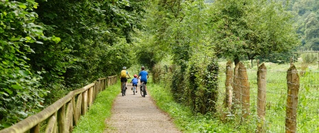
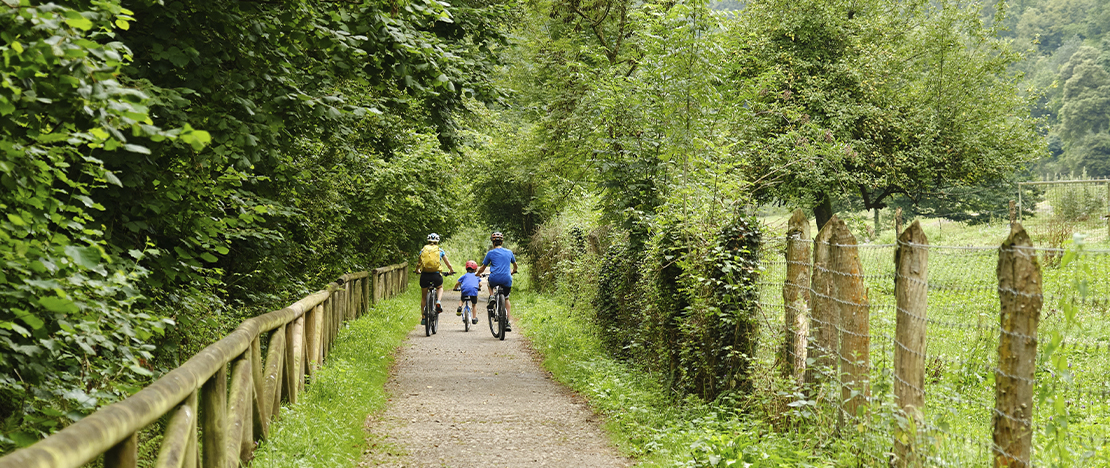
Explore the lushest part of the heart Asturias, in the north of Spain, without having to worry about impossible hills. The Senda del Oso, or Bear Trail is one of the best known Greenways in Spain. It is so named because, in 1996, an enclosure was set up on one of its spots – Mount Fernanchín – to protect two orphaned bear cubs: Paca and Tola. At present, the bear Molina lives in the area. It is a well-paved path, ideal for people with reduced mobility (PRM), which follows the route taken decades ago by heavy trains laden with coal extracted from the local mines. What makes this greenway unique is the feeling of literally passing through the mountain, between narrow gorges and tunnels carved out of the rock. Here, you’ll feel as though nature is completely enveloping you, embracing you. Along the way, you’ll also come across some Asturian farmsteads – the distinctive homes of the region’s farmers and livestock breeders. Route for PRM: 14 kilometres, divided into six sections, between the municipalities of Teverga and Proaza. What makes it accessible: The gradient is gentle and the path is tarmacked and signposted. There are information boards for people with intellectual disabilities and information in Braille at the Valles del Oso Mountain Bike Centre (Turñón) and the Buyera Recreational Area.
-
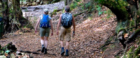
The El Barranquillo and Alto de Garajonay trails (La Gomera)
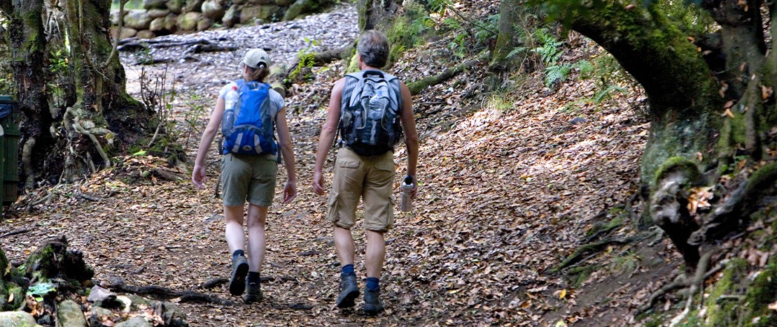
Until recently, the rugged relief of La Gomera, in The Canary Islands, posed a significant difficulty for people with reduced mobility. However, routes such as El Barranquillo and Alto de Garajonay now make it possible to explore this natural environment with high levels of accessibility. Thanks to these specially adapted paths, you can stroll through stunning laurel forests, along tree-lined avenues where light and shadow create a sense of mystery. This is the scenery along the El Barranquillo trail, a walk that takes just 20 minutes, surrounded by the sounds and smells characteristic of this type of habitat, which is considered a living fossil. For its part, the path to Alto de Garajonay will take you to the summit of La Gomera. From there, there is a breathtaking panoramic view of most of the island and also of the summit of the Teide, in neighbouring Tenerife. PMR Route: Los Barranquillos, 0.8 km; Alto de Garajonay, 2.5 km. Both run through the heart of Garajonay National Park. What makes it accessible: Both trails are easy, with only slight changes in elevation; they are clearly signposted with pictograms, and there are accessible entrances at the car parks.
-
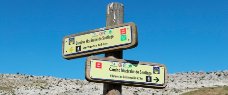
The Mozarabic Way: from Abertura to Santa Cruz (Cáceres)
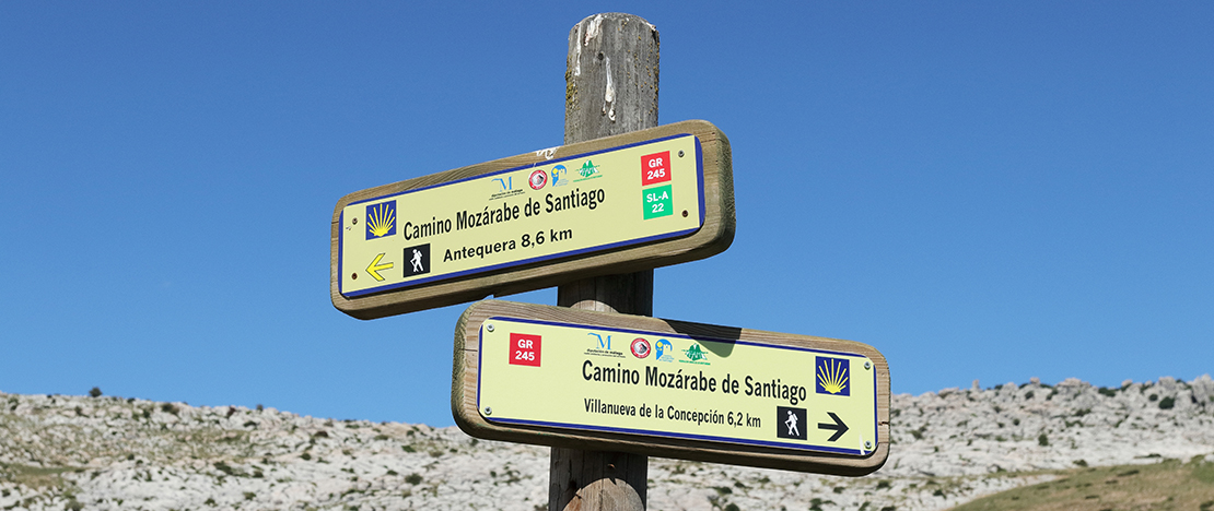
This historic route, which links up with the Camino de Santiago and the Silver route in Mérida, runs for around 120 kilometres through the region of Extremadura.. It has been known by this name since the Middle Ages, as it was the route taken by Christians from the south of the Iberian Peninsula on their pilgrimage to Santiago de Compostela. One of the most accessible stages of the Mozarabic Way is this one, which will take you from the village of Abertura to Santa Cruz de la Sierra, in the province of Cáceres. The route follows a wide, firm and flat path, winding its way through farmland and pastureland. During the walk, you’ll hear the tinkling of the cattle’s bells, the birdsong and the typical sounds of farm work. What’s more, if you fancy a stroll there in the afternoon, you’ll be able to admire one of those spectacular sunsets that are so characteristic of rural Extremadura. PMR Route:9 km. There is an elevation gain of 85 metres. The recommended section ends about 2.5 kilometres from Santa Cruz. What makes it accessible: It runs along a wide track with a well-compacted surface.
-
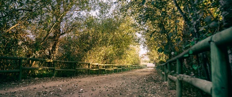
Charca de Suárez Designated Nature Reserve (Motril Granada)
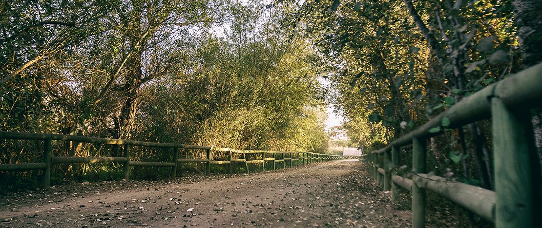
The coastal wetland of the Suárez Pond is an oasis of biodiversity right on the coastline of the Province of Granada. It is next to Motril, a city with a rich historical heritage and several kilometres of beaches. You can explore this nature reserve at your own pace and in your own time, as the network of wide, compacted-earth footpaths is accessible and has very few changes in elevation. Along the route, amongst the tall stands of reeds surrounding the lagoon, you’ll see some wooden mountain refuges with windows at different heights. Here you can see the great variety of birds that breed, rest and feed on the richness of this landscape.With a little patience and a bit of luck, you’ll be able to admire the flight of the elegant grey herons and imperial herons, as well as various species of dabbling ducks. PMR Route: a 2.5 km circular route. An elevation gain of just 1 metre. What makes it accessible:The paths are practically flat and made of compacted sand. There are designated parking spaces and accessible toilets.
There are manymoreaccessibletrailsdistributedthroughoutthe regionsof Spain.. Manyofthem can be foundonthe websiteSpain.info.
Travel plans for inspiring you

Book yours
Choose between thousands of activities to have your best holiday.